The challenge
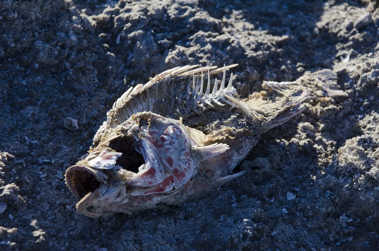
On the east coast of New Ireland, the ocean turned deadly. In a single five-day count, monitors logged about 3,451 dead marine animals across 15+ species — some fish with eerily green flesh. By mid-March, at least 750 people reported skin rashes and respiratory and stomach illness after contact with the seawater.
These are communities that live on the sea. Right now they don’t know what’s harming them, where it comes from, or whether it’s safe to fish — and the creek contamination now threatens their drinking water too. Awareness is high; rigorous science is what’s missing.
Our solution
We’re bringing the discipline this needs: a multi-pathway analytical investigation — lab testing of water, sediment, and fish tissue (ammonia, nutrients, BOD, and metals including arsenic, mercury, copper, lead), satellite remote sensing for blooms and plumes, and GIS mapping of the spread.
We work with local partners on the ground, alongside PNG’s environmental regulator CEPA. We’re honest about the hypotheses still on the table — mine contamination, palm-oil runoff, algal blooms, or geothermal sulphur — and methodical about ruling them out.
Who does what
We are force multipliers, not occupiers — the local partner leads and we supply the science and the assessment design.
- Design the sampling and analysis plan
- Identify the toxin and its likely source
- Interpret the chemistry and toxicology
- Turn findings into guidance communities can use
- Collect samples through the local network
- Share local knowledge of fishing grounds
- Carry findings back to affected communities
The Ocean Toxicity Map
Explore the marine mortality and illness reports across New Ireland — pan, zoom, and click the markers to see what we’re tracking on the ground.
The team behind it
Volunteer scientists and engineers donating their expertise to this project — click anyone to see their work.